
1
Day 1 · 50min flight 7-8hrs drive · 308km flight 242km drive
Kathmandu (1300m) – Bhadrapur - (91m) Taplejung (1820m)
↑ 1729m ascend
50-minute flight to Bhadrapur and on same day jeep (private) ride to Taplejung (7/8hrs). overnight in Taplejung
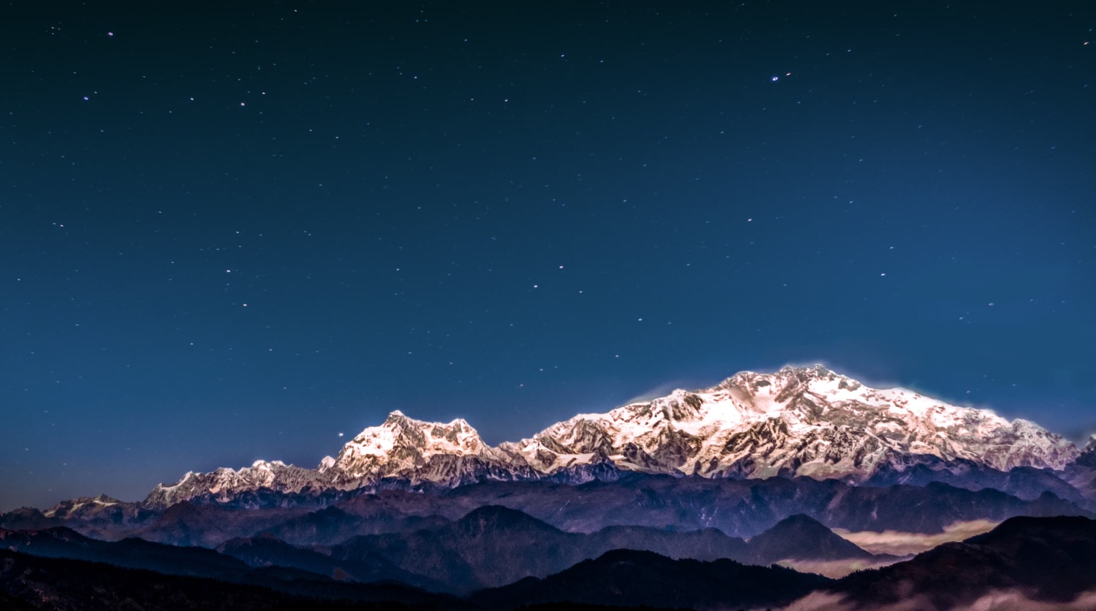
Eastern Nepal · Expedition
A big expedition-grade journey for travelers chasing one of Nepal’s rarest trekking experiences.
Duration
23 days
Max altitude
5,143 m
Best seasons
Apr-May · Oct-Nov
Difficulty
Expedition
Route planning map
Switch between topographic context, overall route shape, and stage-by-stage stops to see how the trek unfolds in real terms — not just as a line between famous names.
Route map
Loading route map
Drawing the topographic base, route line, and stage markers for this itinerary.
Route read
A far-eastern expedition arc where the map makes the remoteness clear. Destination focus: Pangpema at 5,143m, the north base camp reach and one of the route’s great mountain viewpoints.
Route progress
0 km
Completed
~105 km
Total route
Elevation profile
↑ 2,270 m
Elevation gain
↓ 3,120 m
Max elevation
Current leg
Est. distance
Stage type
Duration
23 days
Max altitude
5,143m
Best seasons
Apr-May · Oct-Nov
Starting rate
$4,790+
Permits and access
Permits
Restricted Area Permit, Conservation fees, Licensed guide required
Access
Domestic flight + jeep
Stay style
Kathmandu logistics hotel + wilderness-focused support
Customize your trip
flight
Domestic access flights shorten the long approach into eastern Nepal.
jeep
Private jeep access where roads allow.
Day-by-day itinerary
A representative 23-day plan. Every departure is private and can be paced, shortened, or extended around your dates.
Day 1 · 50min flight 7-8hrs drive · 308km flight 242km drive
↑ 1729m ascend
50-minute flight to Bhadrapur and on same day jeep (private) ride to Taplejung (7/8hrs). overnight in Taplejung
Day 2 · 4hrs drive 2hr walk · 50km drive, 6km walk
↑ 70m ascend 250m descend
Driving day in a private jeep until Lelep, which is a 4-hour and gradual uphill walk to Japantar for 2 hours. Along the way, you will pass by small villages and beautiful landscapes.
Day 3 · 7hrs · 11km
↑ 900m ascend
Today is our first day walking through a deep canyon, with fewer villages, no view of snow peaks, and at the end steep sections with spectacular waterfalls. The trail is partly up and down initially passing through sub-tropical forests like cardamom fields. We can also see some rhododendron flowers if we trek in spring. Hiking hours: 7
Day 4 · 5hrs · 10km
↑ 330m ascend
Today’s trek through temperate dense forests. The trail is initially gentle up to the ridge, then the trail dropped down into the forest until the river bank where a small tea shop at Thungyam, from there the trail rises on the well-maintained trail and continues climbing up through a deep canyon. We cross a couple of steel bridges over tributaries of Ghunsa River and the trail begins steeper at the end of the trail. Finally, we will reach the fascinating village of Gyabla (2730m), today’s destination. Gyabla is a Sherpa village that has 16 households, Mountain Kumbakarna Ghunsa shyar is visible from Gyabla. Hiking hours: 5
What's covered
Included
Not included
Kanchenjunga North & South Base Camp Trek · Updated May 21, 2024