1
Day 1 · 50 min flight · 527 kms
Kathmandu (1300m) - Nepalgunj (150m)
↑ 1150 m descent
Kathmandu – Nepalgunj (50 minutes flight) Stay in GH or Hotel
Dolpo · Expedition
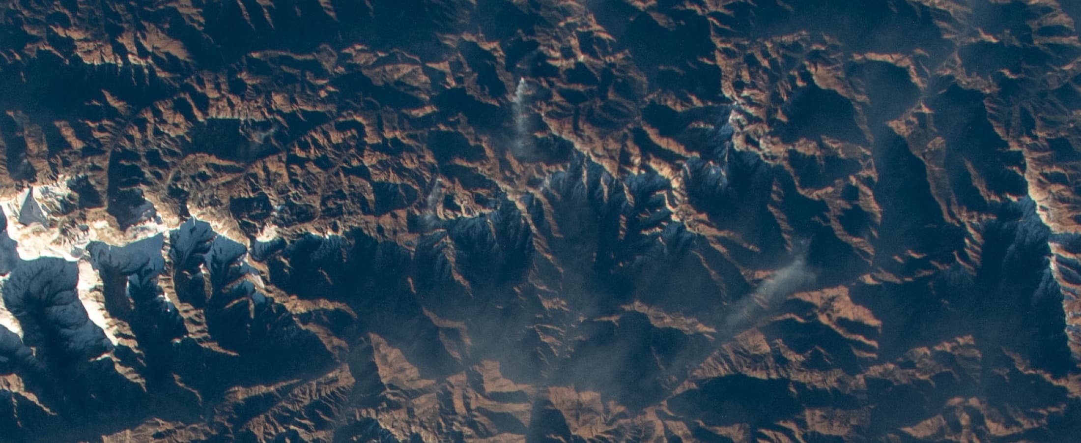
The more attainable Dolpo line, still remote, cinematic, and far from standard trekking corridors.
Duration
16 days
Max altitude
5,310 m
Best seasons
May-Oct
Difficulty
Expedition
Route planning map
Switch between topographic context, overall route shape, and stage-by-stage stops to see how the trek unfolds in real terms — not just as a line between famous names.
Route map
Loading route map
Drawing the topographic base, route line, and stage markers for this itinerary.
Route read
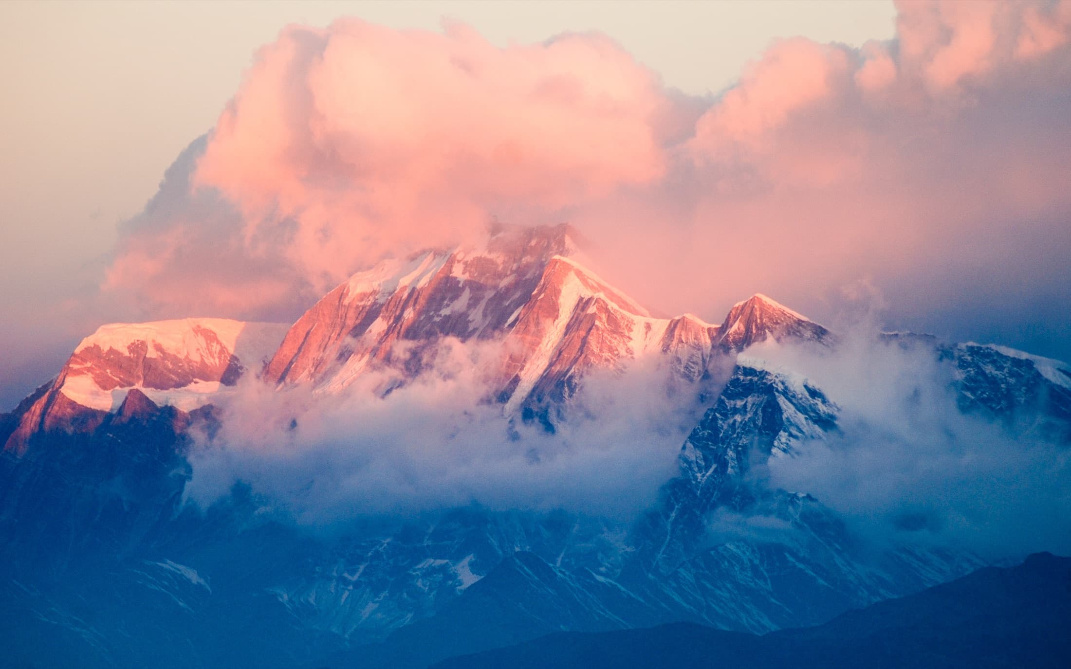
A remote Dolpo route focused on Juphal access, Dunai staging, high passes, and Phoksundo. Destination focus: Suligad at 2,070m, exit corridor back toward Juphal after the lake country.
Route progress
0 km
Completed
~67 km
Total route
Elevation profile
↑ 2,270 m
Elevation gain
↓ 3,120 m
Max elevation
Current leg
Est. distance
Stage type
Duration
16 days
Max altitude
5,310m
Best seasons
May-Oct
Starting rate
Custom quote
Permits and access
Permits
Restricted Area Permit, National Park permit, Licensed guide required
Access
Domestic flight, Remote overland access where needed
Stay style
Remote lodge and camping support mix
Day-by-day itinerary
A representative 16-day plan. Every departure is private and can be paced, shortened, or extended around your dates.
Day 1 · 50 min flight · 527 kms
↑ 1150 m descent
Kathmandu – Nepalgunj (50 minutes flight) Stay in GH or Hotel
Day 2 · 21 min flight 3hrs walk · 155 kms flight 10 kms walk
↑ 2325 m ascent 335 m descent
Fly to Dolpa (Juphal) trek to Dunai. After arriving at Juphal airport walk downhill through the villages and farms for about 30 minutes to arrive by the Bheri river. From here onwards about 2.5hrs. walk on the motorable road along the Bheri River to reach Dunai. Exploring and acclimatization day. Hiking hours: 3
Day 3 · 5/6hrs · 13.7 kms
↑ 250 m ascent
The trail is along the Bheri River to Lingdo. 6 hours of moderate walk passing by a few teahouses will lead us to our next destination, Lingdo (2391m). Lingdo is a small village where there are few teahouses and a health post. Hiking hours: 5/6
Day 4 · 6/7hrs · 9 kms
↑ 979 m descent
Following the Bheri River, we will do a gentle uphill walk for 3 hours to reach Laisicap where we can enjoy our lunch at a local tented teahouse. From here onwards, we leave the Bheri River behind and follow the Tarap River. From Laisicap immediately steep climbing for 3 hours to reach Laina (Lahini Camp). There is only a tented camp facility, a nomad tent where locals and tourists share the tent with about 15 people. We can carry a light two men's tent for privacy. Hiking hours: 6/7
What's covered
Included
Not included
Lower Dolpo Trek · Updated Mar 13, 2024