
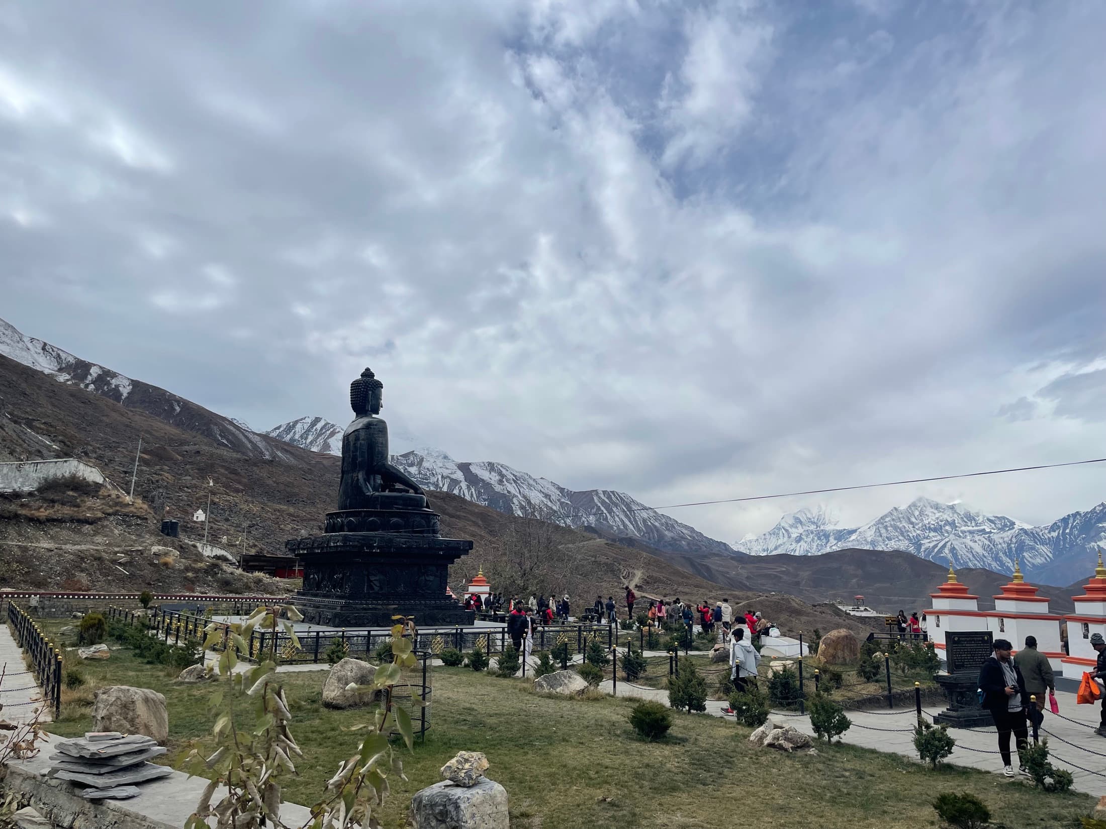
Salt Trade Route

Mustang Gateway · Moderate

Salt Trade Route

A Muktinath-and-Jomsom corridor route that leans into history, trade-path atmosphere, and dry mountain character instead of the usual Annapurna talking points.

Duration

9 days

Max altitude

3,800 m

Best seasons

Mar-May · Oct-Nov

Difficulty

Moderate

Route planning map

Explore the route
before you commit.

Switch between topographic context, overall route shape, and stage-by-stage stops to see how the trek unfolds in real terms — not just as a line between famous names.

Route map

Salt Trade Route

Loading route map

Drawing the topographic base, route line, and stage markers for this itinerary.

Route read

Jomsom to Marpha

A Mustang gateway corridor where Jomsom, Kagbeni, and Muktinath read as one old trade path. Destination focus: Marpha at 2,670m, apple village finish with a polished lodge-and-cafe reset.

Route progress

Stage 1 of 50%

0 km

Completed

~28 km

Total route

Elevation profile

1234

↑ 2,270 m

Elevation gain

↓ 3,120 m

Max elevation

Current leg

Jomsom to Kagbeni

7 km

Est. distance

Transit

Stage type

Duration

9 days

Max altitude

3,800m

Best seasons

Mar-May · Oct-Nov

Starting rate

$1,290+

Permits and access

Permits

ACAP, TIMS or equivalent trekking registration

Access

Jomsom or overland access, Private jeep options

Stay style

Pokhara stay + Mustang-side lodge chain

Customize your trip

flight

Fast Jomsom sectors can shrink the route for tight leave windows.

jeep

Overland access works well for flexible custom pacing.

Build a proposal

Day-by-day itinerary

How the journey unfolds.

A representative 9-day plan. Every departure is private and can be paced, shortened, or extended around your dates.


1

Day 1 · 1.5 hrs drive 4 hrs walk · 42kms drive 7kms walk

Pokhara (884m) - Hille (1430m)

546m ascent

A 1.5 hr drive takes us to our starting point, Nayapul. The beginning of our trek follows the banks of the Modi Khola river and slowly we ascend through local villages and rice fields until we reach Hille (1475m).

3

Day 3 · 3 hrs walk · 6 kms walk

Ghorepani (2860m)

30 m Descent

We begin our day with an early climb to the summit of Poon Hill (3210 m) to watch the sun rise across a spectacular Himalayan panorama. After breakfast back at the lodge we begin our trek. Rhododendron and Magnolia forests give way to the terraced fields of Shika. (1935m). Hiking hours: 4

4

Day 4 · 4 hrs walk · 7 kms walk

Shika (2430m)

1240 m Descent

We descend through the terrace fields and cross the Kali Gandaki river. Tatopani (1189 m), on the banks of the river, is famous for its hot springs. Here we can spend the afternoon relaxing in the springs. Hiking hours: 3

5

Day 5 · 6 hrs walk · 18 kms walk

Tatopani (1190m) - Kalopani (2530m)

1340 m Ascent

We have a gentle walk along the banks of the Kali Gandaki river until we reach the magnificent falls of Rupse Chhahara (1630m). We then pass through the deepest gorge in the world and climb up to Ghasa. (2010m), this is a paradise for bird watchers. Today’s destination, Kalopani (2530m) is reached after a 2-hour walk and offers great mountain views of Annapurna and Dhaulagiri. We take a side trip from here and spend the rest of the day exploring Titi lake and viewing the Dhaulagiri glacier. Hiking hours: 6

What's covered

Included & excluded
at a glance.


Included

  • Total of two nights' accommodation in Pokhara (before and after the trek) at the operator's guesthouse
  • Guide
  • Assistants, (maximum weight to carry is 12 kg for female assistant and 15 kg for male assistant).
  • 3 meals per day, afternoon tea & snacks,
  • Accommodation is typically arranged on a twin-share basis, though peak-season departures may occasionally require a triple or four-bed room.
  • Annapurna Park entry, TIMS fees

Not included

  • Mineral water
  • Beverages- soft and hard
  • Extra dessert
  • Souvenirs
  • Tipping to staff
  • Any entry fee during cultural (monastery/temple heritage visit)

Salt Trade Route Trek (Jomsom / Muktinath) · Updated Mar 17, 2024